
What should you know?
Elevation tells you how high a place is above sea level. It does not tell you the ascent, walking distance, steepness or suitability of a route. Compare named places using sourced figures, then discuss the actual itinerary and your individual health needs before making decisions.
Two places can look close on a map and ask different things of a traveler. Start by understanding what each number describes. A reference elevation is useful precisely when it is kept separate from a promise about the journey.
Three numbers that answer different questions.
It is easy to treat every height in a guide as the same kind of information. Yet the elevation of a city, the height of a summit and the ascent accumulated during a walk describe different things.
Elevation is a location reference
It places a named point above sea level. A city reference does not mean every street is level or at the same height.
Ascent belongs to a route
A measured route profile follows the changing height along a specific path. It needs distance, sampling and a reliable source. A row of mountain heights cannot substitute for it.
Compare the places you are considering.
The chart below uses published reference elevations from UNESCO and Peru Travel. The points are deliberately separate: no line connects them into an imaginary hiking route.
Machu Picchu here refers to the archaeological site, not Machu Picchu mountain. Lake Titicaca refers to the lake surface, not every settlement or island viewpoint. Those distinctions are small on a chart and important in a travel conversation.
Different places, different elevations
Reference elevations for named places. These values do not describe cumulative ascent, trail difficulty or an individual traveler’s suitability. The sources below identify each geographical reference.
Elevation relative to sea level · metres. Comparison of places, not a route profile.
Scale: 0–4,000 m
- Machu Picchu site · UNESCO
- 2,430 m
- Cusco · Peru Travel
- 3,399 m
- Lake Titicaca surface · Peru Travel
- 3,812 m
Source: Peru Travel · Cusco
Make pace part of the plan.
Explain the kind of day you enjoy. Time spent outdoors, stairs, transfers and pauses all contribute to the experience. A place can be spectacular without needing to become the most physically demanding day of your trip.
Ask about the whole day
Request the actual walking and transport details, not only the headline attraction. For individual medical concerns, discuss the itinerary with a qualified healthcare professional; a travel article cannot assess personal suitability.
Use the map for orientation.
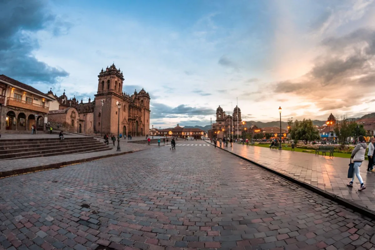
A location map helps you place Cusco within the Andes. It is useful for geographical context, while current access and transport details need their own confirmation.
Continue with the Sacred Valley landscape and Lake Titicaca to see how different places fit your interests. Save the ideas that matter to you and leave the final order open until the details have been discussed.
The place in context
© OpenStreetMap contributorsThis map is for geographical orientation. It does not define a visitor circuit, transport route or current access conditions.
Location reference; this map does not define an approved route.
| Your starting point | What to explore next |
|---|---|
| A place that interests you | Which aspect of its landscape, history or everyday life would you like to understand? |
| Your time and pace | What would you like to spend more time on, and what could you leave out? |
| Practical arrangements | Which current access, transport and service details need confirmation for your dates? |
Sources and further reading
- Peru Travel · Cusco PROMPERÚ · Peru Travel Accessed
- UNESCO · Historic Sanctuary of Machu Picchu UNESCO Accessed
- Peru Travel · Lake Titicaca PROMPERÚ · Peru Travel Accessed
- OpenStreetMap · location reference OpenStreetMap contributors